Institute for Safety and Security Research (ISF)
NAkSU project enters test phase
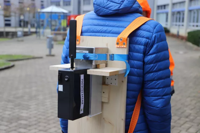
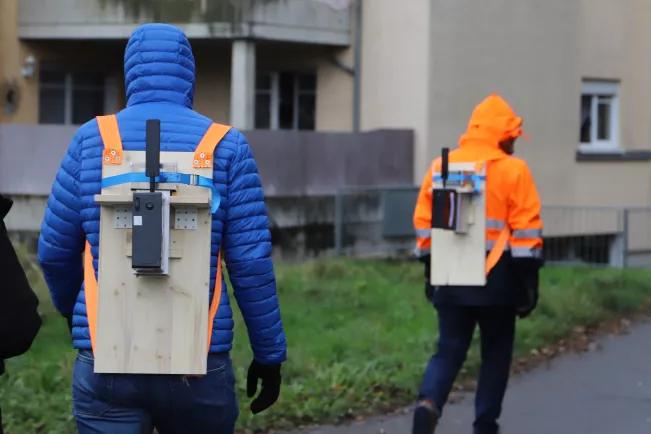
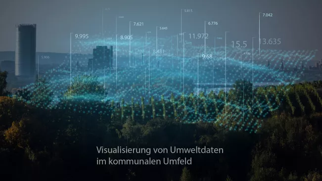
It was a little reminiscent of the film Ghostbusters when the scientists from H-BRS set off on their first measurement tour of Sankt Augustin: Equipped with mobile sensors attached to a wooden plate on the researchers' backs, they collected the first data for the NAkSU project (New Analysis Methods for Complex Safety and Environmental Data). The first phase has been completed with the commissioning of the mobile and stationary sensors; the next step is to collect various data and visualise it in a user-friendly way.
Researchers from the Institute for Security Research (ISF) and the Institute for Detection Technologies (IDT) are responsible for collecting the data: "We are currently testing how we can obtain meaningful analysis data with the combination of mobile and stationary sensors. In the next step, we will be able to process this data graphically," says Christopher Becher, Managing Director of the ISF.
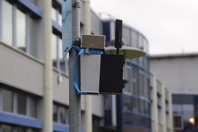
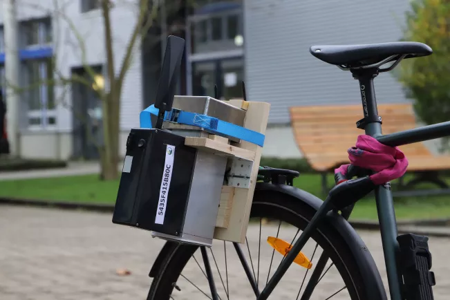
One challenge for the project team is to link measurement data from these sensors, some of which differ both in terms of quality and technology, and to process them in real time. This is to be achieved via so-called sensor nodes.
In addition to environmental data such as temperature, humidity or pollution levels, the researchers can also analyse network coverage, among other things. "From a technical point of view, we can realise many other applications. We can work with future cooperation partners to determine what their needs are and then start analysing them," says Becher.
This also applies to visualisation. The experts at the Institute for Visual Computing (IVC) have specialised in presenting complex data for various applications. In the summer, the project team will start the practical phase with the town of Lohmar. One of the plans here is to get citizens to take part in the measurements. Until then, the researchers want to carry out some test measurements and select suitable locations for the installation of stationary sensors.
Kontakt

Christopher Becher
Managing director ISF, Research, Radiation Protection Officer at the Department of Natural Sciences
Location
Rheinbach
Room
K 222 R
Address
Heisenbergstraße 16
53359, Rheinbach
Telephone
+49 2241 865 591